


Raymarine Models

Raymarine Models
Catalog excerpts

MVÍTt-OlfVIEHS:IOHAl. CHAUT* Platinum QuickStart Card For a full description of how to display Navionics Platinum Chart features in a variety of ways, please refer to the Raymarine E-Series Reference Manual. Panoramic Photos Available for many ports and marinas. To display a panoramic photo (3nm range), either: • Press ACTIVE to highlight chart window. • Put the cursor on the appropriate camera icon $0$? and Press OK, Press VIEW PHOTO. Or, • Put the cursor on the appropriate port symbol , Press OK, then Select the PHOTOS option, Select photo number, Press VIEW PHOTO. This page also provides more information such as Pilot Books, Port Services and more. Aerial Photo Overlay Available for navigable waters approximately 3 miles inland along the coastline. (NOTE: Photo resolution and availability may vary depending on the region) To display aerial photo overlay (6mi range or less): • Select PRESENTATION, CHART LAYERS (A Series select CHART LAYERS & DATA), AERIAL OVERLAY, ON, Turn rotary knob (A Series use cursor pad) to adjust photo layer opacity. 70% Opacity level 40% Opacity level_ 20% Opacity level Specifying the overlay area: • Photo overlay can be displayed for land areas only, or for land and sea areas. Press MENU (A Series press and hold PAGE/MENU), Select CARTOGRAPHY SETUP, Select AERIAL PHOTO OVERLAY - Land only overlay pefinition fishing charts, Press PRESENTATION, Press CHART LAYERS, under CHART TYPE, Press button to toggle
Open the catalog to page 1
MVÍTt-OlfVIEHS:IOHAl. CHAUT* Platinum QuickStart Card Setup desired page view Depth information can be shown in three dimensions • Press PAGE (A Series press PAGE/MENU) and appropriate soft key at bottom of display for Chart/3D View as shown on • Select PRESENTATION, CHART MODE and ORIENTATION, CHART SYNC, • Press ACTIVE to highlight 3D window, Press MENU (A Series press and hold PAGE/MENU), 3D CHART SETUP, Select desired viewing preferences. • With 3D window active, adjust viewing preference with rotary knob (A Series use cursor pad) and soft keys at bottom • To adjust 3D exaggeration in 3D...
Open the catalog to page 2All Navionics catalogs and brochures
 Humminbird Models
2 Pages
 Northstar Models
2 Pages
Archived catalogs
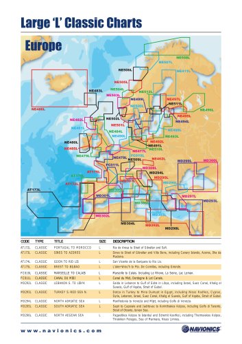 Classic Charts Catalogue
2 Pages
 NavPlanner Catalogue
2 Pages
 Gold Catalogue
2 Pages
 Platinum+ Catalogue
2 Pages
 Platinum Catalogue
2 Pages