IPS
IPS
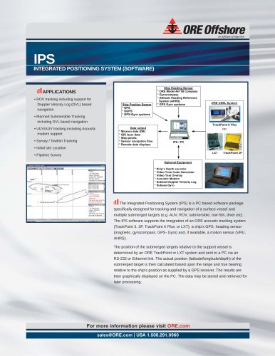
The Integrated Positioning System (IPS) is a PC-based software designed for tracking and navigation of surface vessels and multiple submerged targets such as AUVs, ROVs, and submersibles. It integrates with ORE acoustic tracking systems, GPS, heading sensors, and motion sensors to determine and display the position of submerged targets relative to a support vessel.
- ROV tracking with Doppler Velocity Log (DVL) navigation support
- Manned submersible tracking
- UUV/AUV tracking with acoustic modem support
- Survey and towfish tracking
- Initial site location and pipeline surveys
- Graphical user interface with 3D sensor calibration
- Multiple display modes including GIS layers and various coordinate systems
- Supports a wide range of vector and image formats with geo-referencing
- UTC time synchronization and geodetic conversion utility
- Data output formats compatible with other systems
- Real-time and post-processing data filtering with Kalman filtering
- Doppler Velocity Log-based navigation support
- Processor: Pentium or higher (800 MHz)
- OS: Windows 98SE / ME / W2k / XP
- Minimum 256 MB RAM
- Screen resolution: 1024 x 768
- RS-232 serial port or USB/Ethernet for connection
Catalog excerpts

IPS_INTEGRATED POSITIONING SYSTEM (SOFTWARE) ill APPLICATIONS • ROV tracking including support for Doppler Velocity Log (DVL) based navigation • Manned Submersible Tracking including DVL based navigation • UUV/AUV tracking including Acoustic modem support • Survey / Towfish Tracking • Initial site Location • Pipeline Survey The Integrated Positioning System (IPS) is a PC based software package specifically designed for tracking and navigation of a surface vessel and multiple submerged targets (e.g. AUV, ROV, submersible, tow fish, diver etc). The IPS software supports the integration of an ORE acoustic tracking system (TrackPoint 3, 3P, TrackPoint II Plus, or LXT), a ship's GPS, heading sensor (magnetic, gyrocompass, GPS- Gyro) and, if available, a motion sensor (VRU, AHRS). The position of the submerged targets relative to the support vessel is determined by an ORE TrackPoint or LXT system and sent to a PC via an RS-232 or Ethernet link. The actual position (latitude/longitude/depth) of the submerged target is then calculated based upon the range and true bearing relative to the ship's position as supplied by a GPS receiver. The results are then graphically displayed on the PC. The data may be stored and retrieved for later processing. For more information please visit ORE.com [email protected] | USA 1.508.291.0960
Open the catalog to page 1
Easy to use graphical user interface 3D sensor calibration and display tool Online help Navigation of the support ship or a submerged target relative to any other target or known location Multiple display modes (GIS layers, Lat/Long, UTM, North-Up, Heading-Up) GIS data support (display, conversions & output) * Vector formats (.SHP, MIF, .BML, .DWG, .DXF, .DGN, VPF) * Image formats (.BMP, .TIF, .JPG, .PCX, .TGA, BSB/.KAP) with Image geo-referencing file (ESRI World, Blue Marble.RSF, Geo Tiff Header) and map transformation model (none, Affine, 1st and 2nd order polynomials) * Supports 12,000 pre-defined...
Open the catalog to page 2All EdgeTech catalogs and brochures
 MULTIBEACON
2 Pages
 PACS
PACS2 Pages
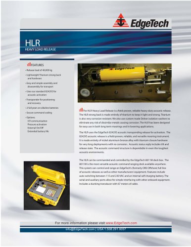 HLR HEAVY LOAD RELEASE
2 Pages
 3300
33002 Pages
 EdgeTech Sonar
4 Pages
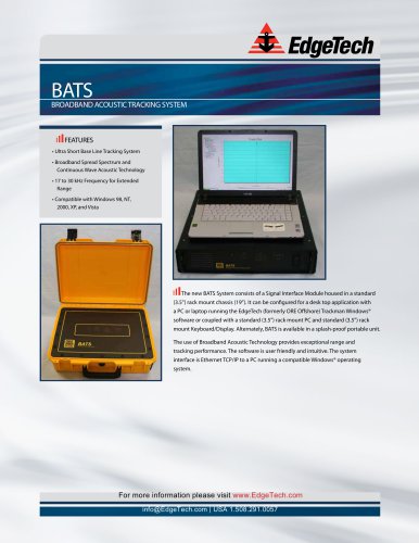 BATS product brochure
2 Pages
 Model 4360A product brochure
2 Pages
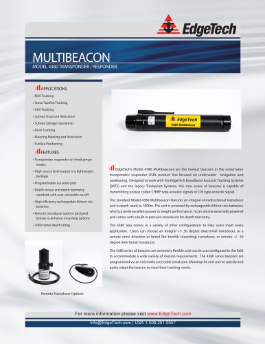 Model 4380 product brochure
2 Pages
 MRU
MRU2 Pages
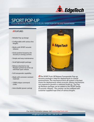 SPORT POP-UP
2 Pages
 CAT
CAT2 Pages
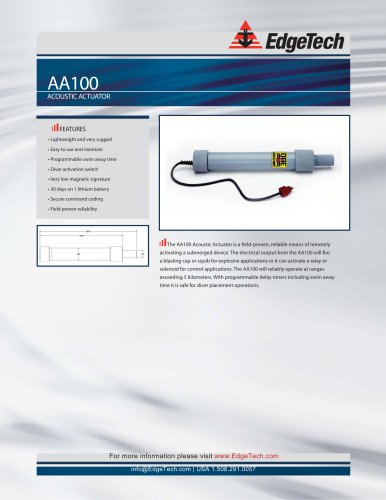 AA100
AA1002 Pages
 SPORT LF
2 Pages
 SPORT MFE
2 Pages
 2205
22052 Pages
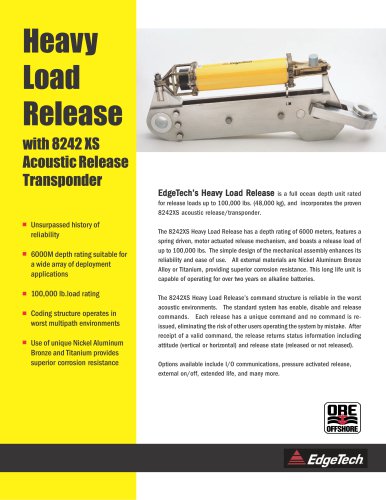 Heavy Load Release
2 Pages
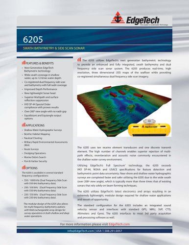 6205
62052 Pages
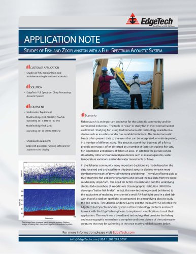 Whoi sb
2 Pages
 Dredging
2 Pages
 EdgeTech SONAR
2 Pages
 EdgeTech 4125
2 Pages
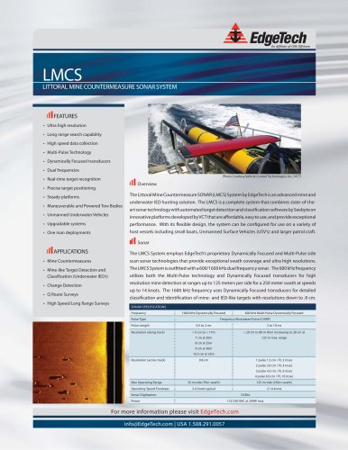 LMCS-Brochure-
2 Pages
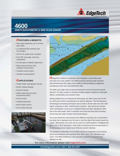 4600_brochure
2 Pages
 2200-s_brochure
4 Pages
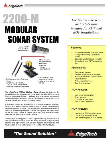 2200-m_brochure
4 Pages
 3100_brochure
2 Pages
 3200_brochure
2 Pages
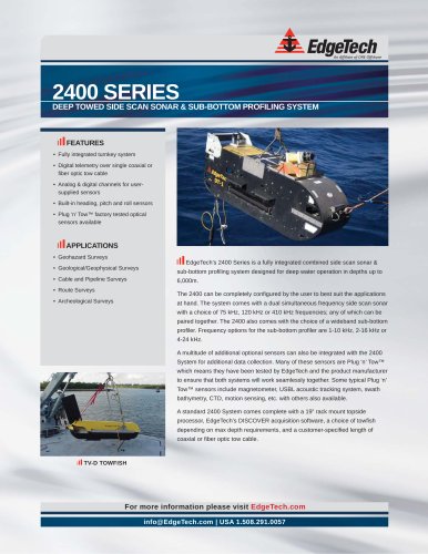 2400_brochure
2 Pages
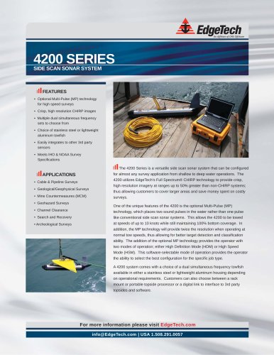 4200_series_brochure
2 Pages
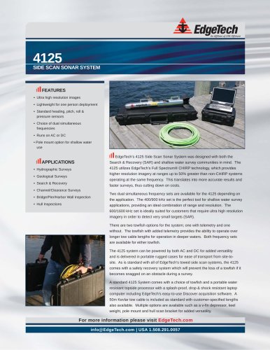 4125_brochure_
2 Pages