
- Catalogs
- Advanced Navigation
- Spatial FOG Dual


Spatial FOG Dual

Spatial FOG Dual
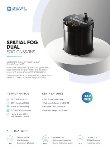
The document outlines the specifications of the Spatial FOG Dual, a ruggedized GPS-aided inertial navigation system and AHRS. Key specifications include:
- Roll and Pitch Accuracy: 0.01°
- Heading Accuracy: 0.01°
- RTK Positioning Accuracy: 8 mm
- FOG Gyroscope Accuracy: 0.05°/HR
- Heave Accuracy: 2% or 0.02 m (whichever is greater)
- Operating Voltage: 9 to 36 V
- Power Consumption: 6.12 W
- Operating Temperature: -40°C to 75°C
- Environmental Protection: IP67
- Dimensions: 94 x 94 x 95 mm
- Weight: 740 grams
The system is suitable for various applications across different domains:
- Land: Georeferencing, Underground Navigation, Ground Vehicle Navigation
- Air: Georeferencing, UAV Navigation, Stabilization & Pointing
- Sea: Hydrography, Oil Rig Monitoring, Marine Navigation
The Spatial FOG Dual offers:
- Dual Antenna Heading
- L1/L2 RTK/PPK capabilities
- Hot Start Time: 2 seconds
- Rapid North Seeking: 10 seconds from hot start
- Low size, weight, and power consumption
The system supports multiple navigation systems including GPS, GLONASS, GALILEO, and BeiDou. It also supports SBAS systems like WAAS, EGNOS, MSAS, GAGAN, and QZSS. Communication interfaces include RS422 (RS232 optional) with a speed range of 4800 to 10M baud.
The system integrates high-accuracy sensors:
- Accelerometers: Range ± 10 g, Bias Instability 15 ug
- Gyroscopes: Range ± 490°/s, Bias Instability 0.05°/hr
- Magnetometers: Range ± 8 G
- Pressure Sensors: Range 10 to 120 KPa
Catalog excerpts

Spatial FOG Dual is a ruggedised GPS aided inertial navigation system and AHRS that provides accurate position, velocity, acceleration and orientation under the most demanding conditions. It combines ultra high accuracy fibre optic gyroscopes, accelerometers, magnetometers and a pressure sensor with a dual antenna RTK GNSS receiver. These are coupled in a sophisticated fusion algorithm to deliver accurate and reliable navigation and orientation. PERFORMANCE 0.01 ° Roll and Pitch • Dual Antenna Heading • L1/L2 RTK/PPK • Hot Start Time : 2 seconds • Rapid North Seeking : 10 s from hot Heave : 2 % or 0.02 m (whichever is greater) • Low size, Weight and Power • Hydrography • Oil Rig Monitoring • Marine Navigation • Georeferencing • Underground Navigation • Ground Vehicle Navigation
Open the catalog to page 1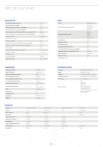
NAVIGATION Horizontal Position Accuracy Vertical Position Accuracy Horizontal Position Accuracy (with SBAS) Vertical Position Accuracy (with SBAS) Horizontal Position Accuracy (with RTK or Kinematica PPK) Vertical Position Accuracy (with RTK or Kinematica PPK) Velocity Accuracy Roll & Pitch Accuracy Heading Accuracy Roll & Pitch Accuracy (Kinematica post-processing) Heading Accuracy (Kinematica post-processing) Slip Accuracy Heave Accuracy (whichever is greater) Orientation Range Hot Start Time Internal Filter Rate Output Data Rate GNSS Model Supported Navigation Systems Supported SBAS Systems...
Open the catalog to page 2All Advanced Navigation catalogs and brochures
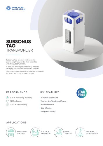 Subsonus Tag Datasheet
4 Pages
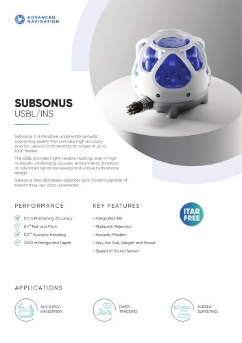 Subsonus Datasheet
4 Pages
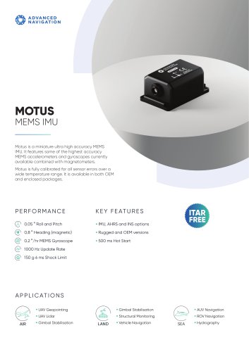 Motus Datasheet
4 Pages
 Spatial FOG Dual Datasheet
4 Pages
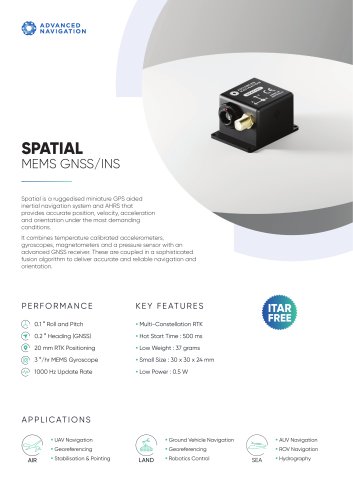 Spatial Datasheet
4 Pages
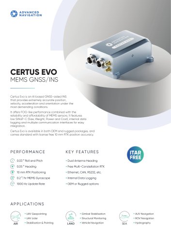 Certus Evo Datasheet
4 Pages
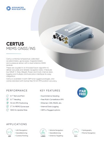 Certus Datasheet
4 Pages
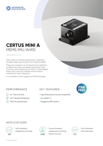 CERTUS MINI A
4 Pages
 Orientus
2 Pages
 Spatial FOG
2 Pages
 GNSS Compass
2 Pages
- Ship inertial navigation system
- IMU inertial navigation system
- GNSS inertial navigation system
- MEMS inertial navigation system
- Underwater drone
- High-accuracy inertial navigation system
- Boat inertial navigation system
- Underwater photography drone
- GPS inertial navigation system
- ROV inertial navigation system
- Positioning system
- Miniature inertial navigation system
- AUV inertial navigation system
- GNSS positioning system
- Electric underwater drone
- Radar transponder
- Oceanographic survey underwater drone
- Autonomous underwater drone
- Underwater positioning system